This map shows a shaded relief of the area.

This map shows the varying slopes of the area defined by different colors. Green signifies a flat slope, while dark red signifies the most extreme slope.

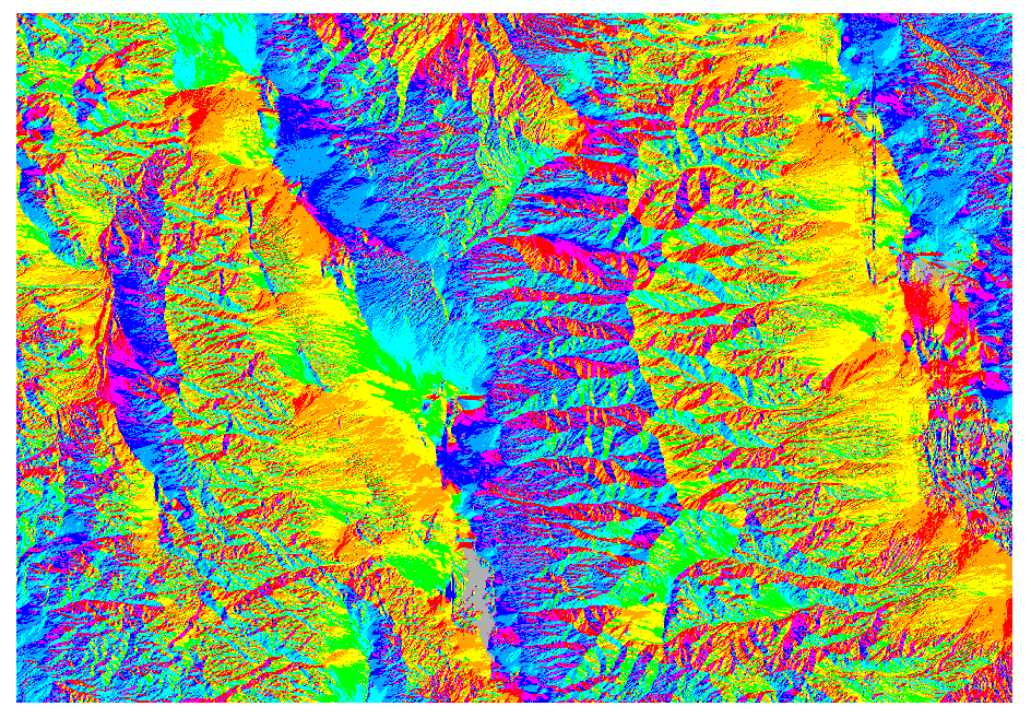
This map shows the aspect, which is the direction the land faces. Gray is flat, red is north, yellow is east, turquoise is south, and blue is west.
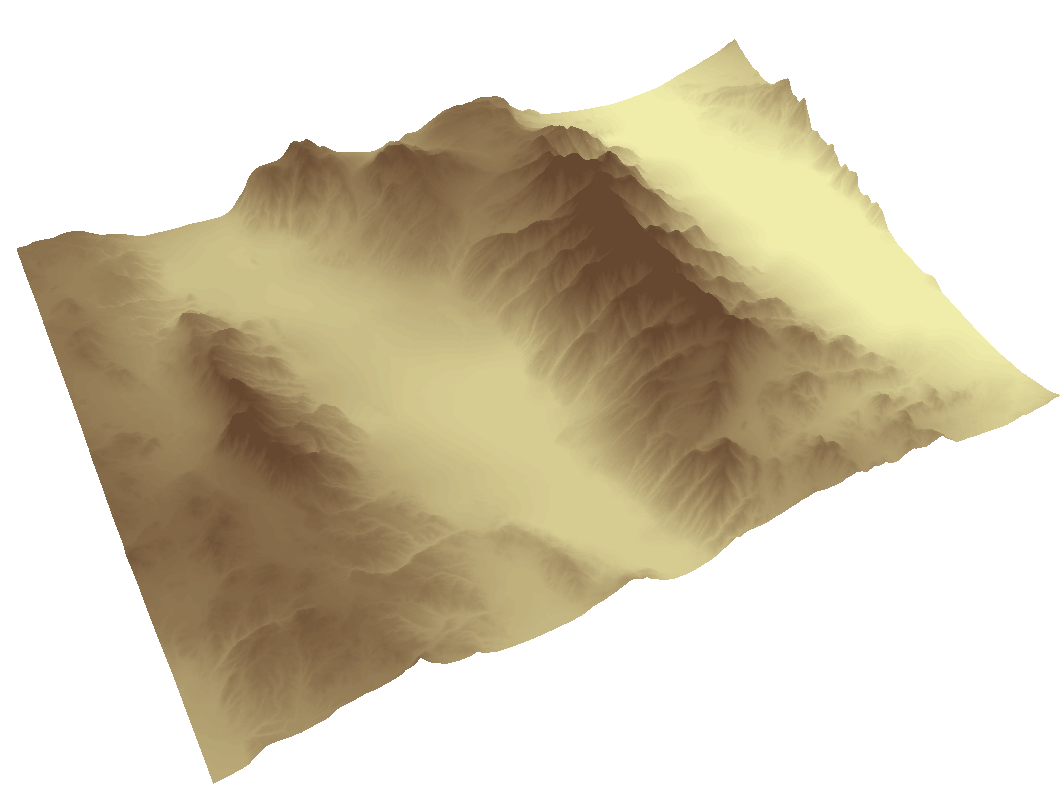
The following three maps show 3-dimensional views of the area from different angles.


No comments:
Post a Comment